TanDEM-X
Short answer
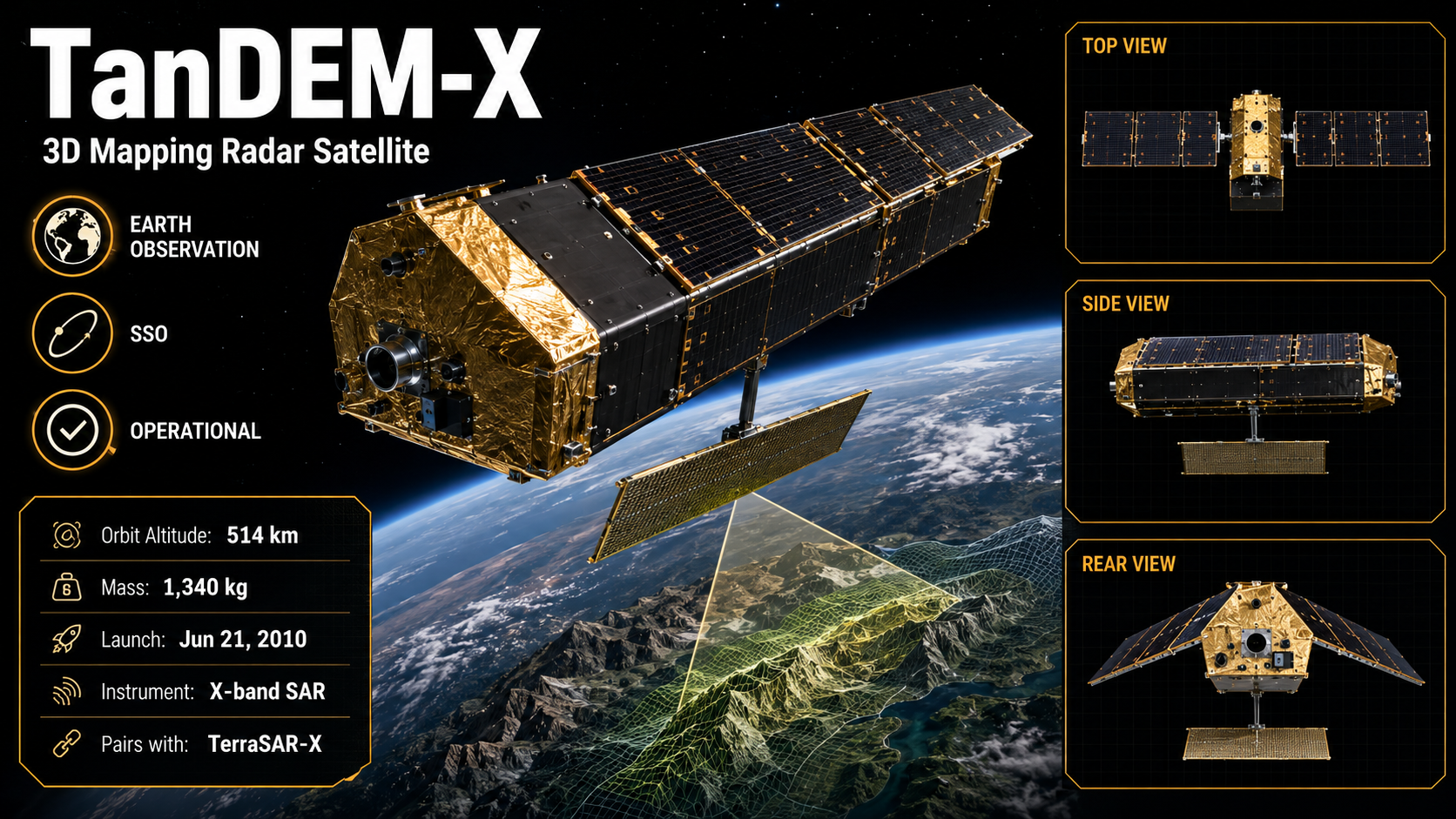
TanDEM-X flies close to TerraSAR-X to make 3D maps of the whole Earth. Together they measured the height of the land worldwide.
- Launch date
- 2010-06-21
- Status
- operational
- NORAD ID
- 36605
- Orbit
- SSO
- Purpose
- earth_observation
- Operator
- German Aerospace Center