ICESat-2
Short answer
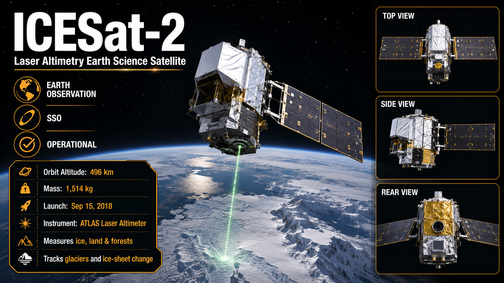
ICESat-2 uses a laser to measure the height of ice, land, and trees. It tracks how ice sheets and glaciers are changing.
- Launch date
- 2018-09-15
- Status
- operational
- NORAD ID
- 43613
- Orbit
- SSO
- Purpose
- earth_observation
- Operator
- National Aeronautics and Space Administration